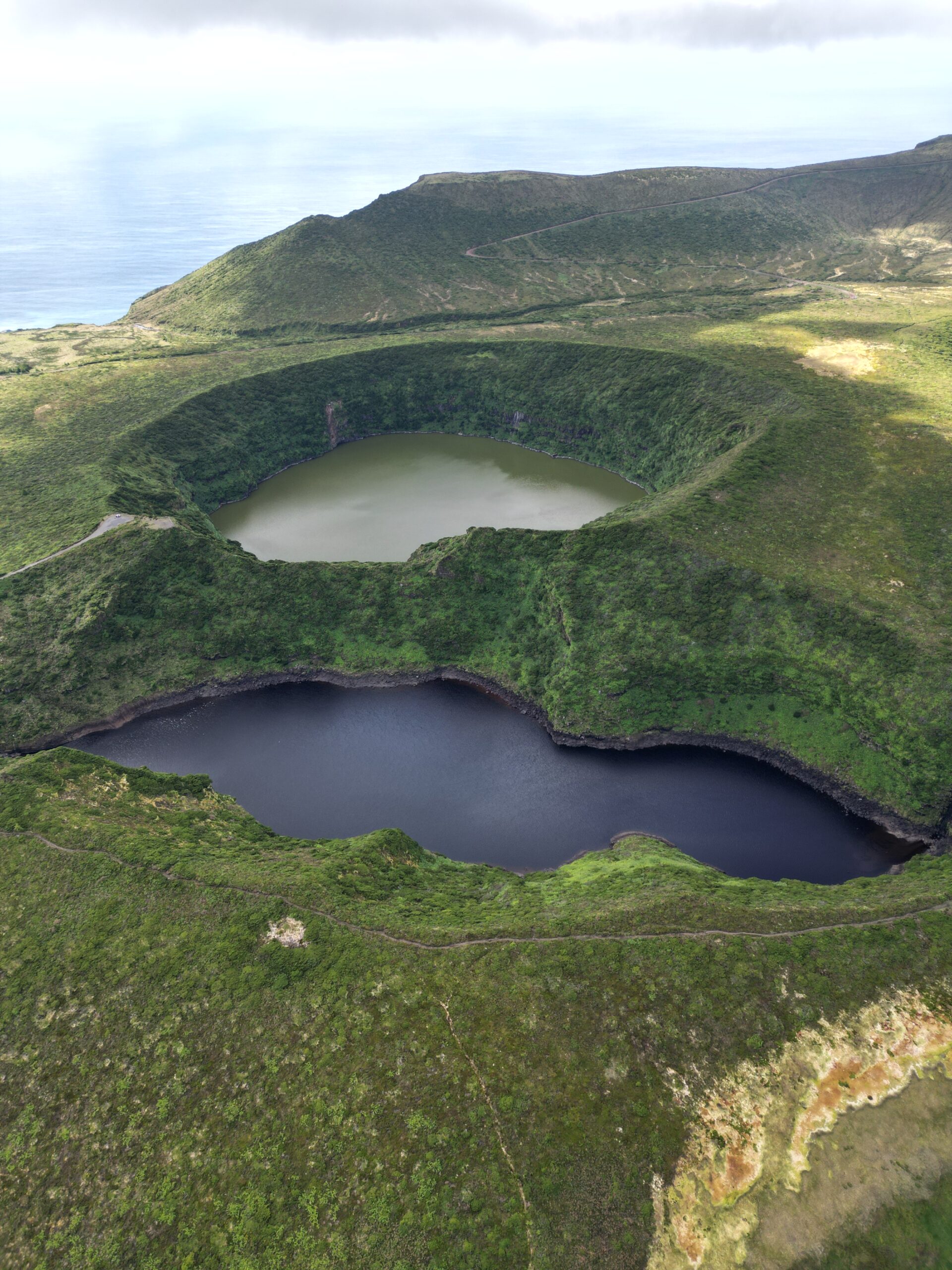
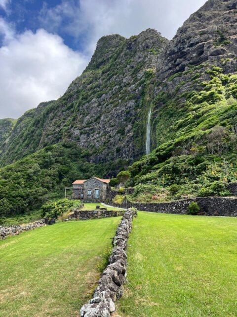
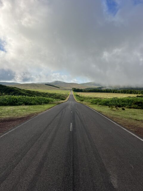
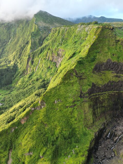
The Island of Flores, or in Portuguese (Ilha das Flores), is an island of the western group of the Azores. After its discovery in 1452 by the navigator Diogo de Teive and his son João de Teive, it was initially named São Tómas or Santa Iria. With an area of 143 km2, there are over 3000 people who inhabit this historical island. Along with the island of Corvo, Flores island is a gem of the Azores archipelago and has been included on the UNESCO biosphere reserve list. The island’s name, which translates to “Flowers” in Portuguese, is proof of its abundant and diverse plant life. From dramatic cliffs and cascading waterfalls to tranquil lakes and charming villages, Flores offers a unique blend of natural beauty and cultural richness. In this article, we will explore the four official trails of Flores Island, preparing you with the needed information before you set out to trail on the Island. Flores Island has four official trails. Here is a guide on each trail to the island.
Table of Contents
- Ponta Delgada- Fajã Grande Trail (PRO1 FLO)
- Lajedo- Fajã GrandeTrail (PRO2 FLO)
- Miradouro das Lagoas- Poço do Bacalhau Trail (PRO3 FLO)
- Fajã de Lopo Vaz Trail. (PRO4 FLO)
- Tips For Hiking on Flores Island
1. Ponta Delgada- Fajã Grande Trail (PRO1 FLO)
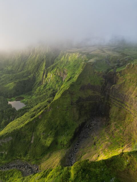
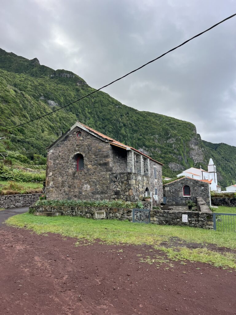
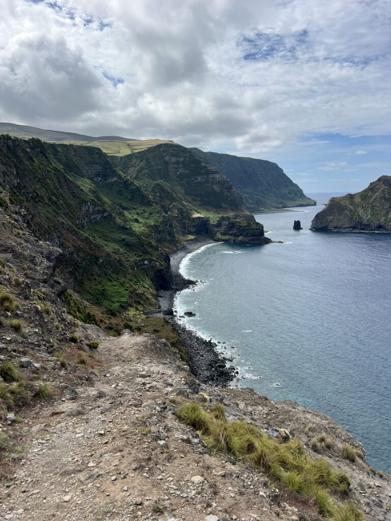
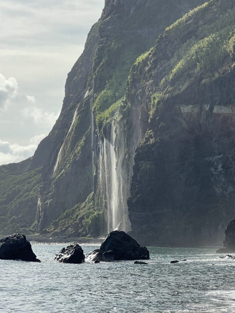
The hike between Ponta Delgada- Fajã Grande is a linear trail type and showcases the rare landscapes of Flores Island. You can begin the first part of the trail from the center of Ponta Delgada village and finish at a lighthouse in Ponta de Albernaz. The paths that lead to Ponta do Albernaz are clear, and they run through some water lines, which are home to some native flora. As you continue this route, is the geossite- the Monchique Islet, which is located 1500m from the coast which is the westernmost point of Europe. In the final 4 km of the route, you will reach the Rocha do Risco, where the pathways run along the cliffs which offers a panoramic view of the ocean to the west. At this moment, you will begin to see the Fajã de grande, with the Azores juniper(juniperus brevifolia) forests providing a breathtaking atmosphere. At the end of this route, there are also stunning waterfalls about 300m in height that flow through the fossil, which you will meet between Ponta da Fajã and Fajã Grande itself. Due to the various water lines and slippery rocks along the routes of PRO1 FLO, the hike can be quite challenging and requires your ultimate physical strength. It is advisable to wear appropriate footwear and be very careful if it has just rained. The aesthetics of Corvo Island combined with the spectacular views of the Maria Vaz islet- a breeding site for the yellow-legged gulls, the juniper forest, and the geosite makes the trail such you will want to try more than once despite its difficulty. It should be known that the PRO1FLO is closed at the moment of writing this article due to the poor state of the trails and its proness to danger. In addition, because of its steep slope and closeness to cliffs, the trail is not advisable for people suffering from vertigo.
DISTANCE
12.9 km
ESTIMATED TIME
4 hr 30 min
ELEVATION GAIN
689 m
DIFFICULTY
Hard
2. Lajedo- Fajã GrandeTrail (PRO2 FLO)
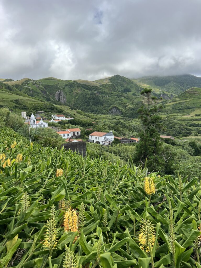
You can begin the hike at the center of the small village of Lajedo and follow the pathways that lead to the viewpoint. The routes towards the viewpoint are filled with cobblestone, on your left is a view of the islets of Mosteiro village and Rocha dos Bordões on your right. At Mosteiro village, you will see the Rocha dos Bordões- a geological formation characterized by massive vertical basalt columns. Soon, you will find yourself at the top of the hill of the Miradouro portal viewpoint after crossing Mosteiro. Here, you can catch a glimpse of the villages of Fajãzinha and Fajã Grande. On getting to fajãzinha, there is a route parallel to the stream that leads to an ancient watermill dated more than a century ago situated by your left which is still in use. About 500 meters ahead on your right are cascading waterfalls of the iconic Poço da Ribeira do Ferreiro that forms a lagoon beneath. Continuing along this route, you will walk past cliff bases, pastures, and farming fields. In the final meters of your hike, you will encounter old stone walls that guide you to the bathing area in Fajã Grande. Make sure you enjoy a relaxing swim in this water. You can access PRO1 FLO and PRO3 FLO from this point.
DISTANCE
13.1 km
ESTIMATED TIME
3 hr 30 min
ELEVATION GAIN
572 m
DIFFICULTY
Moderate
3. Miradouro das Lagoas- Poço do Bacalhau Trail (PRO3 FLO)
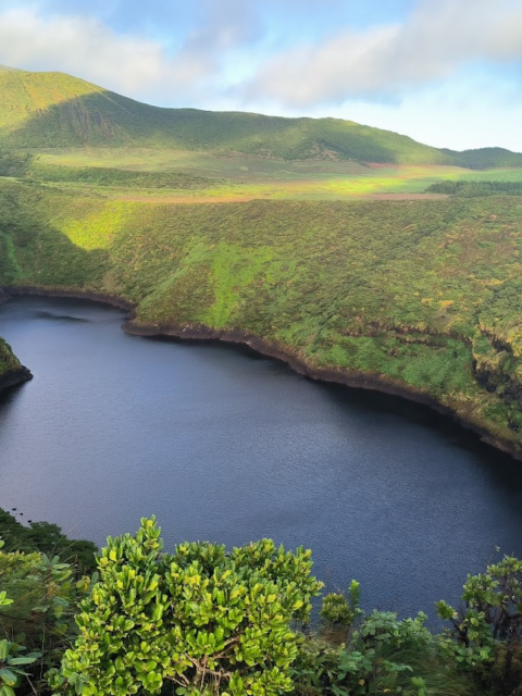
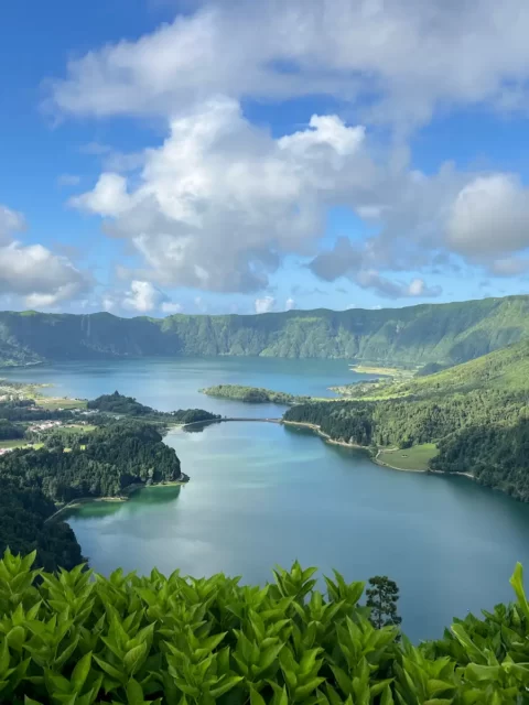
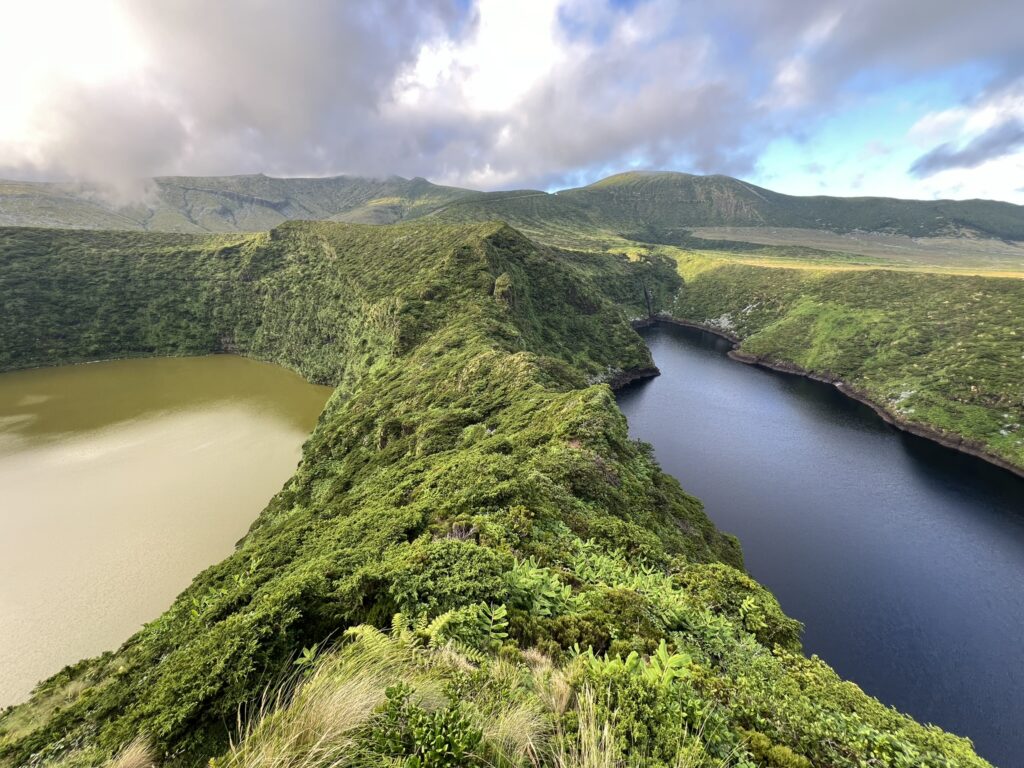
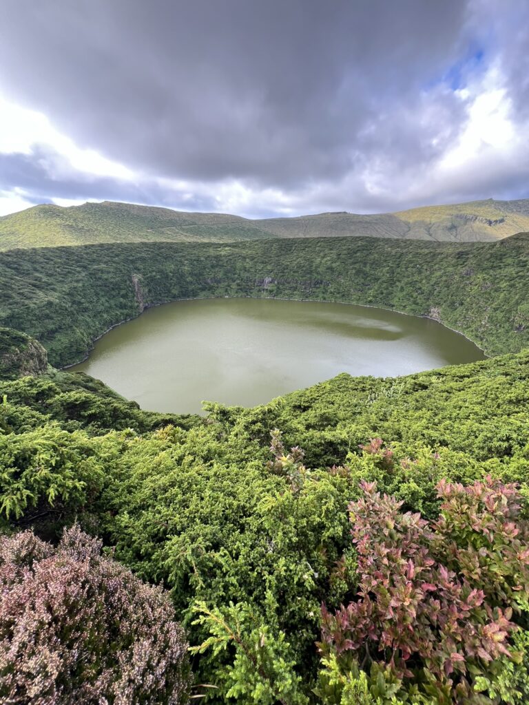
The trail begins at a high elevation, on one of the most stunning viewpoints on the Island- the Miradouro das Lagoas Negra e Comprida. This area is covered with moss and surrounded by the calderas of extinct volcanoes, which are now filled with tranquil lakes. Before starting your journey, you might consider visiting the four crater lakes on the Flores plateau that you will encounter before your descent toward Fajã Grande. Continue your hike until you find a red gravel road; take the left until you reach a pasture, where you will cross the gate into the pasture. At this point, you will be thrilled to have a spectacular view of the villages of Fajã Grande and Fajãzinha. The path here can often be concealed in fog, so make sure the weather is favorable to see this particular route.
This trail is home to a wide variety of flowers on the island, adding to its charm. The descent toward Fajã Grande presents the greatest challenge of this hike due to its elevation and the slippery, rocky terrain. The trail ends at the coastline, where you will be welcomed by the breathtaking Poço do Bacalhau waterfall, which relieves the strenuous descent at Fajã Grande, offering a pool for a refreshing swim after the challenging hike.
DISTANCE
7.3 km
ESTIMATED TIME
3 hr
ELEVATION GAIN
264 m
DIFFICULTY
Hard
4. Fajã de Lopo Vaz Trail (PRO4 FLO)
The PRO4 FLO trail guides you to one of the first settled areas on the island. Fajã de Lopo Vaz is said to have earned its name after one of the pioneers of the Island, “Lopo Vaz,” a man who built the stone staircase, which is part of the route along the trail. The trail begins at the viewpoint of Fajã de Lopo Vaz and descends on a rocky path and a stone staircase believed to have been constructed by Lopo Vaz. The trail shifts between dirt roads with protective wooden trunks, paved areas, and scattered stone steps to help you overcome the slopes. On your way down, you will come across flowers like the Azorean heather(Erica azorica) and white wood (Picconia azorica). You can encounter wild goats along the fajã and pay attention as the cliffs on the rock
might fall. Black sand beach, basaltic pebbles, and a water fountain are what you will see on the coastline of fajã. If you wish, you might explore the area and its farming fields. Fajã de Lopo Vaz has a microclimate with tropical features because the area is situated in the south and has a lot of sunlight at low altitudes, making it easier for the growth of fruits like bananas, figs, and grapes, which you will find along the trail. The water for irrigation is obtained from fajã’s 350m spring. The hike through Fajã de Lopo Vaz takes a linear course, which means that you will have to take the same route back up when ascending which can be a little overwhelming.
DISTANCE
3.4 km return
ESTIMATED TIME
2 hr
ELEVATION GAIN
223 m
DIFFICULTY
Moderate
5. Tips For Hiking on Flores Island
- Check the weather: The Azore weather is very unpredictable. Before you set out on the trail, you can use the SportAzores App (Android/iOS/Web) to know the condition of the weather. Make sure you carry a rain jacket and items of clothing for different weather conditions.
- Proper Footwear: The routes are characterized by slippery terrain and muddy pathways. Sturdy hiking boots with good grip are important to provide support and prevent injuries.
- Use of Map: While the trails are well-marked, it is still important to have a GPS map installed on your phone. You can get this on the official website of the Azores Trails- VisitAzores.
- Consider hitchhiking: Many trails on the Flores are linear, so you’ll need to get back to the starting point. Hitchhiking is an option if you don’t have your car rented, and drivers are likely to stop to help. You can rent your car here
- Safety First: Always inform someone about your hiking plans and expected return time. Carry a basic first aid kit for emergencies and fill your backpack with enough water and snacks to energize you throughout the whole journey. Flores Island is a great place for nature lovers. Its trails offer beautiful views, including green forests, impressive waterfalls, and stunning lakes. Each hike is an adventure that lets you enjoy the natural beauty around you. It’s a true paradise for those who want to connect with nature.
One of the two main questions is “How do I get to Flores Island?” Getting to Flores Island might be a little hard because you can only book a flight to the Azores from other Azorean islands. The easiest and the most convenient way I recommend to reach Flores Island is by Plane. You can get to Flores Island from either PDL airport in São Miguel Island or TER airport in Terceira Island before heading to Flores Island. For car rentals, I recommend using this service, as it offers a reliable and convenient way to book your vehicle. However, if you’re unable to use this service for any reason, here are direct contacts for local car rental companies, ensuring you have alternative options for your trip.
And the second question is “When is the best time to visit Flores Island?” The best time to go hiking on Flores Island is during the summer, from June to August. Why?- The weather is actually nice during this time, and there’s less chance of rain, which will not only hinder the hike but also destroy the hiking routes.- The Island is quite busy as there will be little or no crowds.- You will also experience the beauties of the Hydrangea flowers which create a stunning environment in the Azore. However, it should be known that the weather in the Azores can be so erratic and unpredictable. You might experience different types of weather conditions in a day so be prepared. If you need more information check out my guide to Flores Island. This guide will help you make the most of your trip, highlighting must-see locations and offering insider tips to ensure a memorable experience.
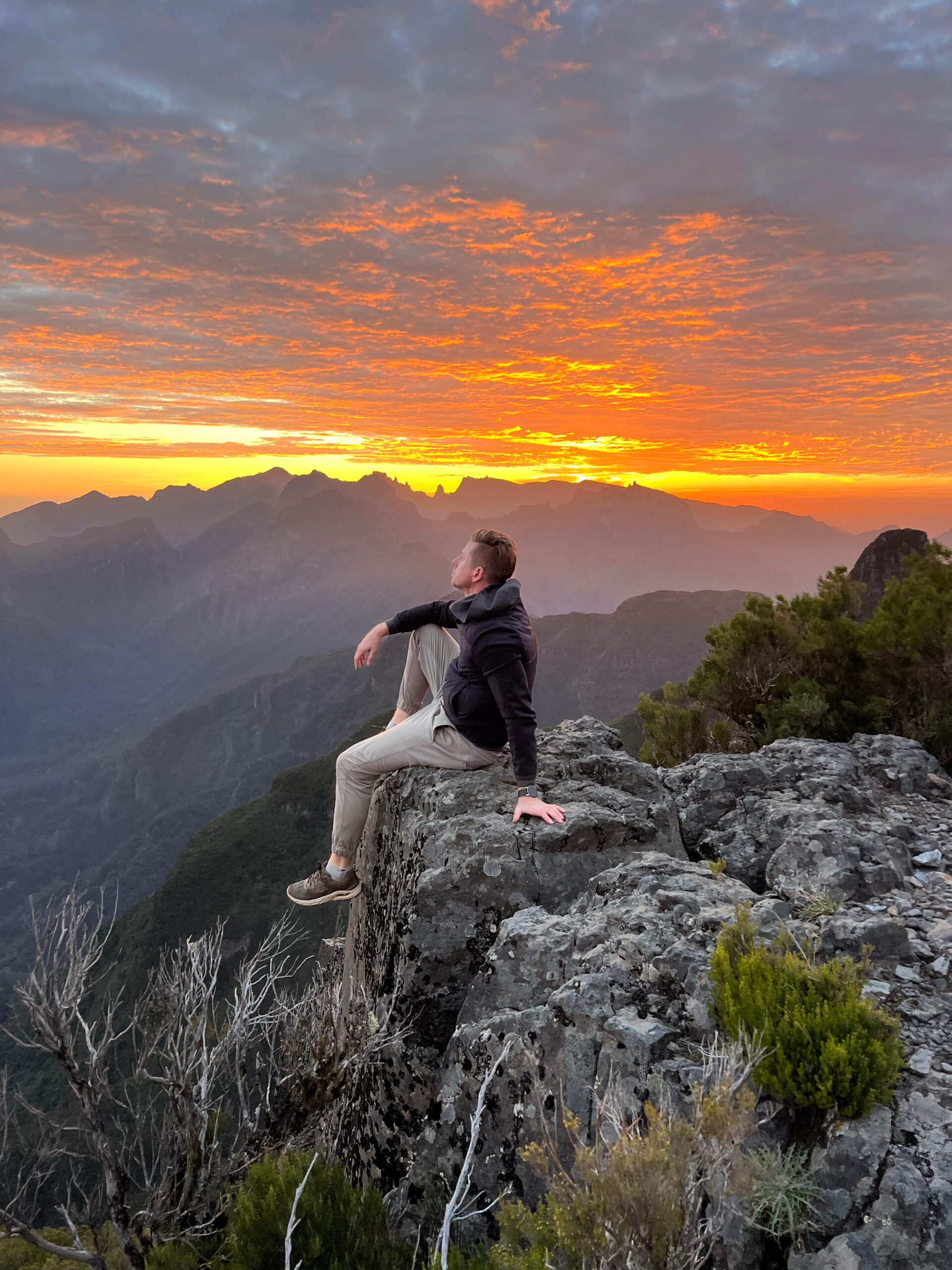
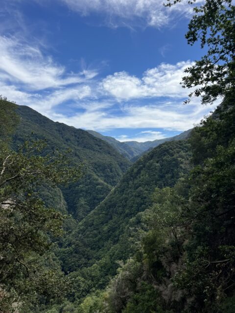
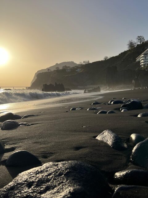
At the serene heights of Madeira, amidst the gentle whispers of the setting sun and the tranquil drift of clouds, lies a sanctuary of peace.
Here, the chaos of daily life fades away, leaving only the present moment to cherish.
In this tranquil setting, I discover harmony amidst turmoil, embrace the mysteries of the unknown, and, above all, find solace within myself.
As the last rays of sunlight vanish beyond the horizon, they serve as a poignant reminder that every ending marks the dawn of a new beginning💫
Location:📍Miradouro do Ninho da Manta, Madeira, Portugal 🇵🇹
#Madeira #MadeiraIsland #TravelPortugal #TravelMadeira #SunsetViews #SunsetMadness #BreathtakingView #MountainViews #SummitView #Cloudscapes #NatureEnthusiast #Quiettime #innerpeace💫 #serenitynow #ReflectingOnLife #philosophyoflife #mindfulnessmeditation #SoulSearching #JourneyWithin #FreshStarts
Unveiling the Secrets of Hiking in Madeira
Madeira is a paradise for hikers, but even the most stunning trails can feel like well-kept secrets until you experience them yourself.
Let’s face it—planning hikes in Madeira can be overwhelming. Where do you start? Which trails are worth your time?
👉🏼 That’s why I created MY INTERACTIVE MADEIRA GUIDE — the result of two years of exploring every corner of this incredible island. It’s designed to help you find the best hikes, hidden gems, and practical tips to make the most of your adventure 💫
Why waste days searching when you can dive straight into the magic? Check 🔗 the link in my bio 👆🏻 and start preparing your dream trip today! 🌿
Unveiling the Secrets of Hiking in Madeira
Madeira is a hiker’s dream—endless trails, breathtaking views, and nature at its finest. Yet, some of the island’s most magical spots remain hidden unless you know where to look.
Let’s be honest—planning hikes here can feel overwhelming. Which trails should you prioritize? How do you make the most of your time?
💡That’s exactly why I created MY INTERACTIVE MADEIRA GUIDE — the product of two years of exploring every corner of this island. It’s packed with the best hikes, hidden gems, and practical tips to ensure your Madeira adventure is unforgettable.
Why spend hours searching when the adventure is just a click away? Check the link in my bio and start preparing your dream trip today! 🌿
Looking for the world’s most breathtaking landscapes? 🇵🇹🌿
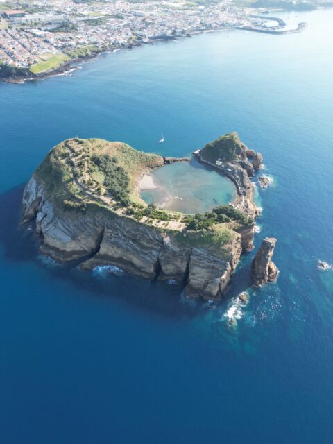
Madeira, São Miguel, Flores, and Corvo offer unreal beauty—from volcanic peaks and waterfalls to serene lagoons and rugged coastlines.
✈️ Plan your perfect trip with MY INTERACTIVE MOBILE GUIDES, designed to work offline with built-in navigation. 📲✨
💫 Don’t miss your chance to discover these Portuguese island gems!
🔗 Link in bio ☝️
#VisitMadeira #VisitAzores #Travelguides #TravelMap #MadeiraIsland #SãoMiguelIsland #FloresIsland #CorvoIsland #ilhadasflores #ExplorePortugal #IslandAdventure #Açores #Azores #Madeira #TravelSmart #TravelPlanner #EpicLandscape #BeautifulIsland #BeautifulLandscapes


